EN
EN 

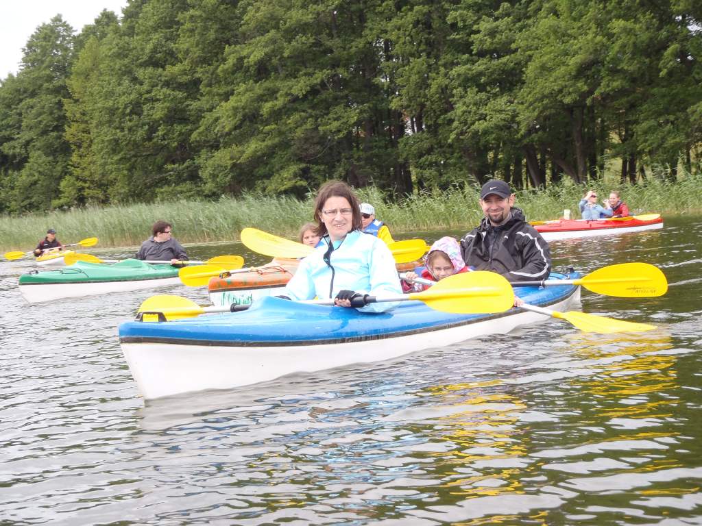
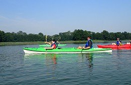
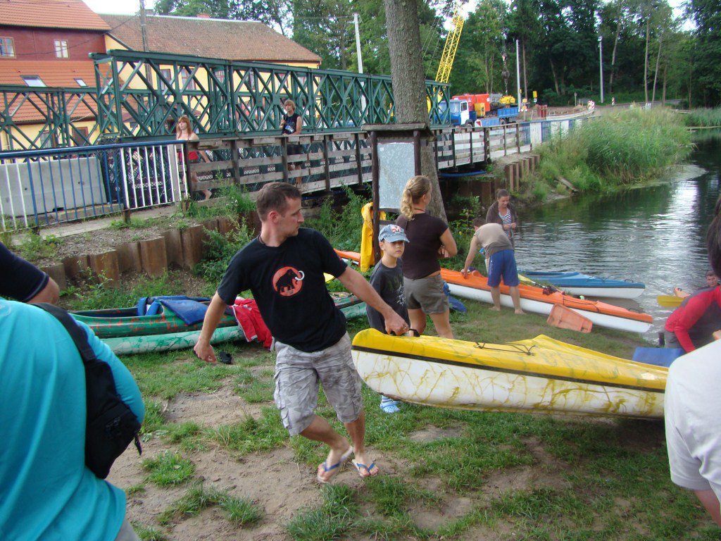
Starting point PTTK Water Campsite in the village GAWRYCH-RUDA. City buses from Suwałki go there.
Exact trail description
- 0,0 km
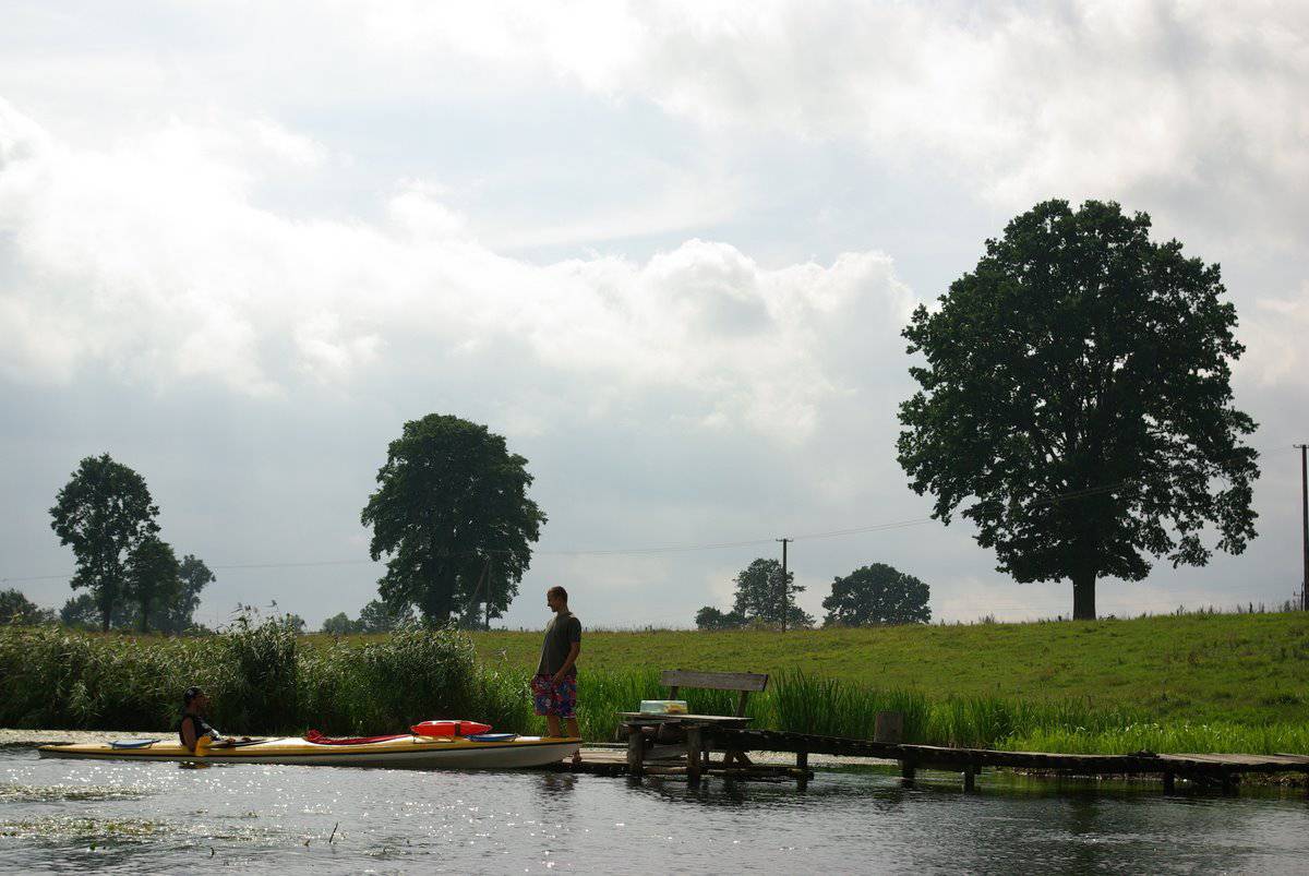
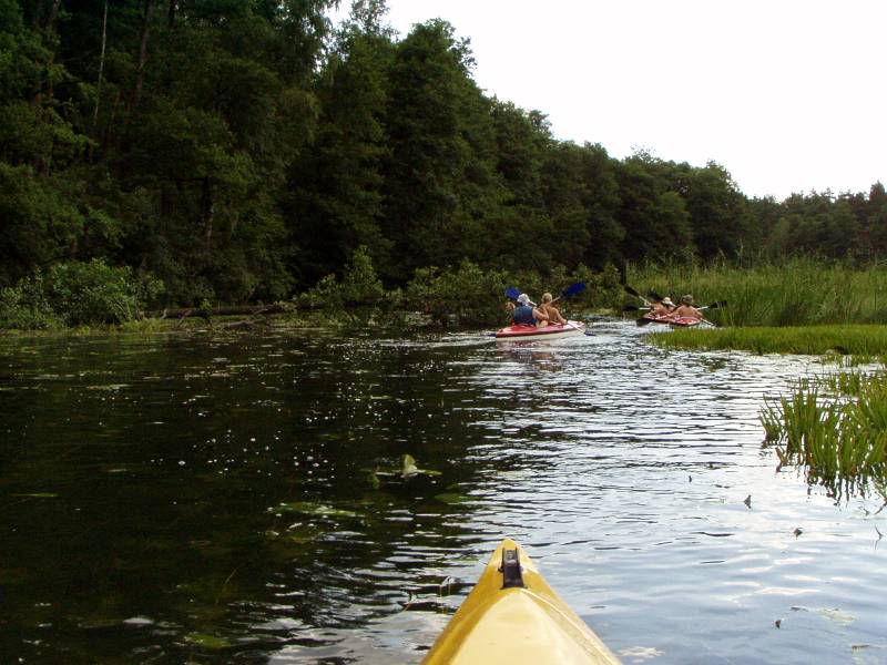
- Kayaks are put on water in the village Stary Folwark, on the northern bank of the lake Wigry. If you are here, you must visit an old monastery from the 17th century. From the haven in Stary Folwark we go south, leaving on the left the Monastery Peninsula and on the right Cimochowizna. We pass the Hańczańska Bay and go along the northern shore of a big peninsula.
- 6,5 km
- The headland of the peninsula Wysoki Wągieł – the narrowest part of the lake Wigry. Ahead of us the island Kamień, behind it at the bay a camping place - Zakąty. We turn right here and go towards the Birch Islands.
- 8,5 km
- On the right peninsula Łukaszowy Róg, behind it Bielańska bay, and a larger Przewłokowa bay.
- 11,3 km
- Peninsula Dąbek, behind it Słupiańska bay, there the Research Station of the Wigierski National Park.
- 12,3 km
- Peninsula Łysocha, behind it we go into the Wigierki bay.
- 15,0 km
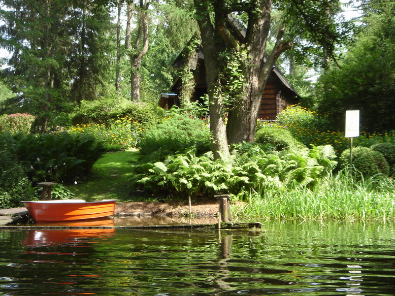
- Gawrych-Ruda. Village founded before 1660. Holiday centres, shop, bar, campsite.
- 19,7 km
- Bryzgiel, holiday village with private campsites and two shops, opposite to the island Ostrów, one of the biggest islands on polish lakes (0,42 km2 ). We go along the southern coast, leaving on the left the islands Ostrów and Krowa.
- 22,2 km
- Peninsula Jurkowy Róg, behind it we get to the Krusznik lake. Ahead of us the Birch Islands, behind them on the right side a bay and there the camping place Jastrzęby. We go near the island Kamień and near the passage between two peninsulas that we already know.
- 25,0 km
- On the left peninsula Wysoki Wągieł, on the right peninsula Łapa. We go along the right shore, there the buildings of the village Mikołajewo. Further we see the village Rosochaty Róg with a camping place.
- 28,8 km
- On the right we leave the other headland of the peninsula Rosochaty Róg, across the bay we go along the Monastery Peninsula.
- 31,5 km
- Stary Folwark, PTTK campsite. From the haven we go straight towards the Mysia island, behind it in a small bay (shop) a narrow part of the Wigierski Peninsula with a concrete pipe under the road. We get to the other side and turn right to the place where Czarna Hańcza leaves Wigry, under a small wooden bridge, connecting the villages Wigry and Czerwony Folwark. We get to the small Postaw lake.
- 33,7 km
- Czarna Hańcza leaves the Postaw lake behind a small island – the place is hard to find.
- 34,1 km
- Czerwony Folwark, bridge on the road to Magdalenów.
- 36,9 km
- The mouth of the river Żubrówka, camping place, you can have a meal at the nearby farmer’s house.
- 40,7 km
- Maćkowa Ruda, bridge on the road to Wysoki Most. In the village shop, post office, nice camping place.
- 43,4 km
- Village Buda Ruska. A small bridge on the road to Maćkowa Ruda. Buda Ruska was founded in the 18th Century. Lower on the left side a camping place.
- 44,9 km
- The mouth of the stream Pawłówka, connecting 5 lakes.
- 46,0 km
- Wysoki Most. The first of three PTTK campsites "Wysoki Most". Further on the right a camping place on a high slope.
- 49,3 km
- Studziany Las, a village in the woods, with very colourful buildings.
- 53,1 km
- Gulbin, bridge on the road between Frącki and Sarnetki and a bridge of the non-working forest railway. Lower on the right camping place.
- 54,7 km
- Tartaczysko, a typical forest village.
- 56,5 km
- Głęboki Bród, bridge on the road Augustów-Giby. In the village: shop, small health centre, post office, bus, petrol station. On the right camping place with a bar on the pier.
- 58,3 km
- Campsite "Frącki" on a high rock on the left. Lower, on the right and left, camping places in the forest.
- 64,7 km
- Okółek road bridge, forester’s lodge.
- 65,7 km
- Village Hańcza.
- 68,9 km
- Dworczysko. One of the most beautiful parts of the river starts here, with old pines and 400-years-old oaks.
- 76,6 km
- PTTK Campsite "Jałowy Róg".
- 78,3 km
- Rygol. Behind the bridge we turn right to the river Szlamica. You have to carry the kayaks about 20 m.
- 79,2 km
- Bridge on the road Rudawka-Rygol-Giby. On the left bar.
- 80,6 km
- A deep lake with high shores.
- 81,6 km
- Szlamica leaves the lake.
- 82,4 km
- Muły, bridge on the road do Kudrynki.
- 82,7 km
- Szlamy lake, very nice, with a big island where Szlamica leaves it. After camping we go back the same way.
- 88,8 km
- Rygol, connection between Czarna Hańcza and the channel. We go right.
- 90,0 km
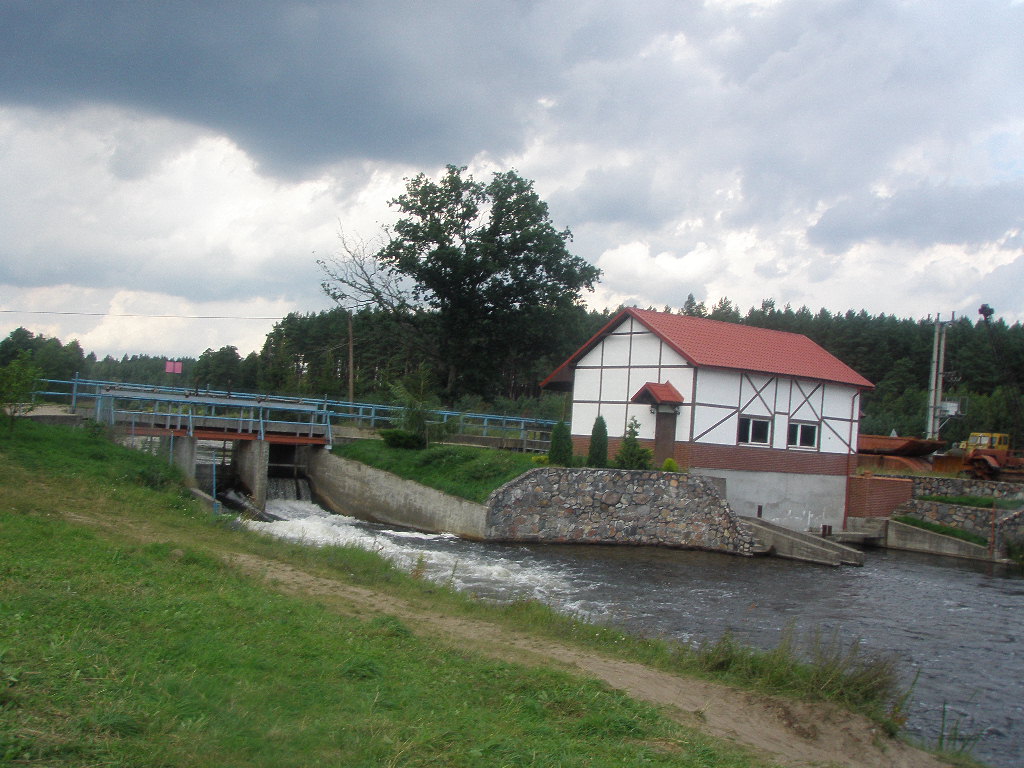
- Sluice "Sosnówek" (length 43,9 m, width 6,15m, fall 2,37m, time of going through 25 min.). Behind it on the left a very good camping place.
- 91,2 km
- Sluice "Mikaszówka" (length 43,9 m, width 6,05m, fall 2,82m, time of going through 25 min.) with the bridge of the road to Strzelcowizna and Głęboki Bród. On both sides of the channel village Mikaszówka. You can see a nice wooden church here, decorated with horns of elks and deer.
- 92,6 km
- The beginning of the lake Mikaszówek, connected with a narrow channel to the lake Mikaszewo, considered by some to be the most beautiful in Poland. At the beginning, on the left, a nice campsite of the forester’s lodge “Jazy”..
- 97,3 km
- Sluice "Perkuć" (length 44 m, width 5,9 m, fall 2,38m, time of going through 25 min.), considered to be the most beautiful on the trail. Behind it we get to the Krzywe lake and can see the next high sluice
- 99,4 km
- Sluice "Paniewo" (the only one with two chambers), the chambers are connected and they have the length of 44,4 and 43,6 m and equal width of 5,8 m, the difference between the water levels is 6,5 m. Because of its size, the sluice makes quite an impression, especially on beginners. Behind the sluice we get to the Paniewo lake, where we can see passenger ships from Augustów. From the lake we go on through a man-made channel.
- 101,8 km
- Orle lake.
- 103,3 km
- Sluice "Gorczyca" (length 42,7 m, width 5,75m, fall 2,87m, time of going through 20 min.) with a road bridge. On the left village Płaska, on the right village Gorczyca. Behind the sluice the beginning of the Gorczyckie lake.
- 104,4 km
- PTTK Campsite "Płaska" in the woods on the left shore, behind it on both shores two camping places. A bit further the narrow lake becomes the longest channel on the way to Augustów, Czarnobrodzki channel, almost 8 km long.
- 107,4 km
- On the right the mouth of the stream Sucha Rzeczka.
- 108,6 km
- Sucha Rzeczka, an unusual weir, 1,86 m high, with a special gutter for tree trunks. You carry the kayaks for 50m on the right. We go to a big lake Serwy. Clean water and sandy shores – a great place for a swim.
- 112,4 km
- Serwy – a well-known holiday village on the left shore. Opposite to the village the island Dębowa – there the PTTK Campsite "Serwy". We spend the night there and go back to the Augustowski Channel.
- 123,0 km
- Sluice "Swoboda" (length 45,4 m, width 6,0 m, fall 1,7 m, time of going through 18 min.). You can camp near the sluice. Behind it the channel leads us to the big Studzienicze lake, the first of three large lakes, connecting this place with Augustów.
- 124,6 km
- Campsite "Swoboda" with a shop and a possibility of having normal meals. Behind it some camping places.
- 126,9 km
- Sluice "Przewięź" (length 47,2 m, width 6,05 m, fall 0,8m, time of going through 13 min.), above it the bridge on the road Augustów - Sejny. On the right village Przewięź (bus, camping, restaurant, bars, shops). Directly from the sluice we get to the Białe lake.
- 133,7 km
- A river, looking like a channel, leaves Białe lake; it is called Klonowica. We go under the road and railway bridges on the main road to Suwałki.
- 134,5 km
- Klonowica falls into the Necko lake, on the right side the river Rospuda. On the left hotel "Hetman" with a camping place.
- 136,1 km
- Augustowski Channel leaves the lake on the left side. From here we go on Netta. On both sides the buildings of the town Augustów. On the right PTTK sailing centre. It’s the end of the trail.
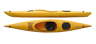
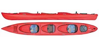
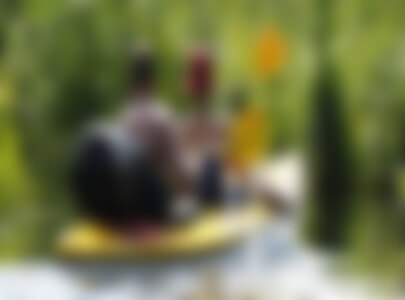
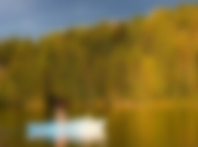
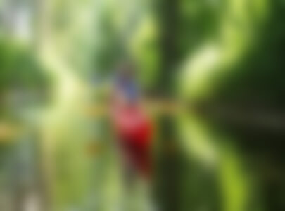
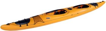
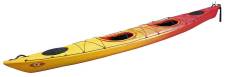
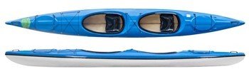
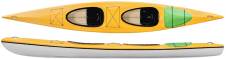
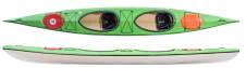
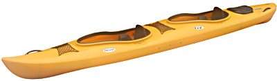
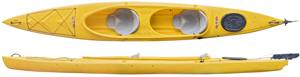
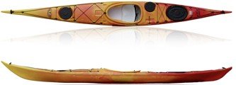
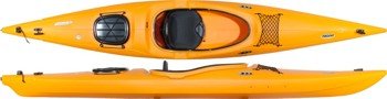
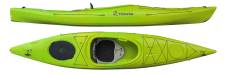
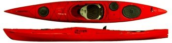
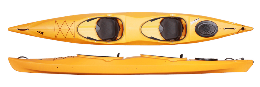
Czarna Hańcza – kayaks and kayaking trips.
Kayaking trip down Czarna Hańcza and the Augustów Canal:
Czarna Hańcza is a left-bank tributary of the Nemunas. It is 141.7 km long, 107.80 km of which is in Poland. It flows out of the moraine hills north of Lake Hańcza and joins the Augustów Canal near the village of Rygol.
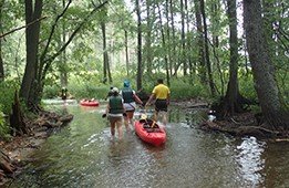
The Czarna Hańcza kayaking route starts on the Lake Wigry. In order to complete the entire route, from the Lake Wigry to the Augustów Canal by Rygol, you need 3–5 days. The river flows peacefully here, and the only obstacles in the forest sections are created by the trees fallen due to the wind or beavers.
You may combine the Czarna Hańcza route with the route down the Augustów Canal. Heading west towards Augustów, the route prolongs to approx. 90 km. If you choose to head east, you will need to cover 10 km to the lock in Kurzyniec, where a crossing border with Belarus is.
The Augustów Canal is a monument of nineteenth-century construction technology that connects Vistula and Nemunas. It uses the post glacial range of Augustów lakes and the valleys of the Biebrza, Netta, Czarna Hańcza and Nemunas rivers. Natural reservoirs and watercourses connected by hydrotechnical devices, including eighteen locks, formed a 103.60 km long waterway.
From Rygol to Augustów you go through seven locks: Sosnówek (level difference of 2.98 m), Mikaszówka (level difference of 2.44 m), Perkuć (level difference of 2.91 m), Paniewo –– a double chamber lock (level difference of 6.29 m), Gorczyca (level difference of 2.81 m), Swoboda (level difference of 1.70 m) and Przewięź (level difference of 0.86 m). On this route, the Augustów Canal connects several lakes: Lake Mikaszówek, Lake Mikaszewo, Lake Krzywe, Lake Paniewo, Lake Orle, Lake Gorczyckie, Lake Studzieniczne and Lake Białe.
Practical information:
Persons staying within the Wigry National Park are required to have entry cards. Entry cards to the Wigry National Park cost PLN 5.00 / person and are available at our kayak rental.
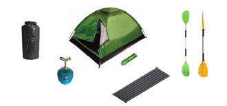
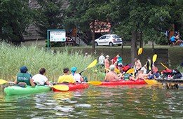
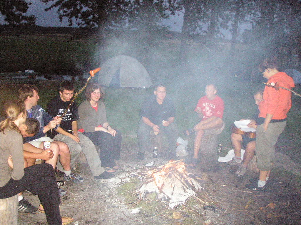
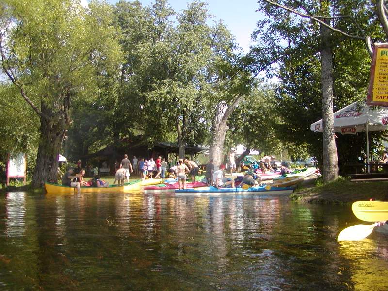
Campsites: there are many spots down the river where you can pitch a tent and have a meal. Various pastries and beverages are sold from the footbridges on the river, and there are shops in the villages.
There is a fee, if you want to go through the lock on the Augustów Canal: PLN 4.04 until 4.00 p.m. and PLN 7.80 after 4.00 p.m.
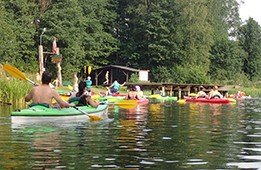
The Wigry Lake is considered to be the beginning of the Czarna Hańcza kayaking route, where the trip begins at the monastery in Wigry. You can also start in Gawrych Ruda, however, you need to cross the entire lake then. You can complete the 20 km long section from Gawrych Ruda to Stary Folwark in one day or you can use the campsite, e.g. in Jastrzęby.
Czarna Hańcza –– example route sections of 10–15 km, which take 3–4 hours of rowing:
-
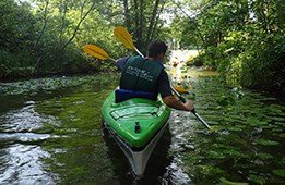
The monastery by Lake Wigry - Maćkowa Ruda / Buda Ruska or Wysoki Most: the kayaking trip begins on the lake situated in the Wigry National Park. Next you head to a small Lake Postaw. Having crossed the lake, you reach the Czarna Hańczariver meandering among the tall reeds. You go past small villages on the way. There are also numerous river forks and small isles covered with grass.
Practical information: there are campsites in Maćkowa Ruda, Buda Ruska and Wysoki Most. Grocery stores are located in Wigry and Maćkowa Ruda.
The post-Camaldolese ensemble in Wigry is the biggest attraction on the route. The Camaldolese Monastery is the most famous monument of the region. Founded in the 17th century by John II Casimir Vasa, the monastery is currently the seat of the Wigierski Areopag Nowej Ewangelizacji. http://wigry.pro/ -
Maćkowa Ruda / Buda Ruska or Wysoki Most–Frącki - a very interesting section of the river with high, steep and wooded banks. At first, the current is fast but safe. It gets slower along the way. You can see numerous meandres, river forks ans backwaters with reeds on the route. The route that crosses the forest is considered to be one of the most interesting sections.
Practical information: the section to Studziany Las is located within the Wigry National Park so you are required to buy an entry pass. A grocery store is available in the village of Frącki, approx. one kilometre from the hostel. -
Frącki–Dworczysko / Łośki - the current of Czarna Hańcza is very fast in this section. The river meandres among fields and meadows. You won’t get bored as you need to constantly pay attention and manoeuvre with your kayak.
Practical information: in Dworczysko there are several campsites; stores are open in high season only. More experienced kayakers may prolong this section and go straight to Rygol. -
Łośki / Dworczysko–Rygol / Mikaszówka - at first, the route will take you through the Augustów Forest. This section is considered to be quite difficult as the river meanders strongly and the water flow is interrupted by fallen trees in many places. In Rygol, where you can stay for the night by the bridge, the Czarna Hańcza river forks. Szlamica is one branch and it flows towards Belarus. It supplies a small hydropower plant, then it flows through Lake Głębokie and Szlamy. Behind the second road bridge in Rygol, though, the river connects with the Augustów Canal. If you head west, you’ll reach the first lock in Sosnówek. Several hundred metres further there is a second one, in Mikaszówka.
Practical information: campsites are available in Rygol and Mikaszówka. There are some shops and bars in Mikaszówka as well. Fees for passing locks: PLN 4.04 until 4.00 p.m. and PLN 8.08 after 4.00 p.m. -
Mikaszówka–Płaska - this section covers the Augustów Canal. Go through three mid-forest lakes, the Perkuć lock and the double chamber Paniewo lock.
Practical information:there are campsites and agritourism farms in Płaska and Gorczyca villages. In Płaska, there are bars, a shop and a post office as well. PTTK hostel. -
Płaska–Swoboda or Przewięź - a peaceful section of the route down the Augustów Canal. Initially, you can see coves with lush vegetation that makes them a paradise for waterfowl and beavers. On the right, you can see how Cicha river flows into the Lake Serwy. You enter the longest straight section of the canal, the Czarny Bród Canal, embraced with green forests. There are two locks on this route.
Practical information:numerous campsites are available by Lake Studziennicze. There is also a large and nice campsite in Przewięź. Przewięź offers a bar and a shop as well. - Swoboda / Przewięź–Augustów - the last section of the trip along picturesque lakes: first, Lake Studzieniczne, the Przewięź lock along the way, and then Lake Białe and Lake Necko. The shores offer many beaches and convenient spots go for a swim, but beware of yachts and motorboats. The kayaking trip ends on Lake Rospuda Augustowska, on the “Goła Zośka” campsite.


.JPG)
.jpg)
.jpg)
.jpg)
.jpg)
.jpg)