EN
EN 


Brda –– start
Swornegacie –– you can get there by bus from Chojnice or from Brusy. Charzykowy –– get there by bus from Chojnice.
A Detailed Description of the Brda Kayaking Route
A middle section of Brda: Lake Charzykowskie–Gostycyn Nogawica.
- 73,0 km
-
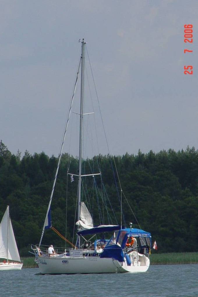
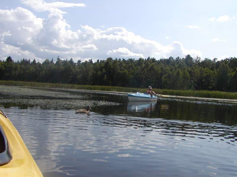
Lake Charzykowskie (area: 1,384 ha, depth: 31 km). A middle section of the Brda river starts in Lake Charzykowskie.
It is possible to set off in Charzykowy, a village that offers vacation lodges and campsites. - 76,0 km
- several original Kashubian farms have been preserved in the Małe Swornegacie village. Brda outflow from Lake Charzykowskie. Go under the bridge, by the headland campsite on the left, towards Lake Długie.
- 78,0 km
- a pass between Lake Długie and Lake Karsińskie, a campsite on the left.
- 80,0 km
- at the northern end of Lake Karsińskie there is the village of Swornegacie. In the centre of the village you will find a neo-baroque church of St. Barbara with Kashubian polychrome, several wooden cottages from the 19th century with roofs covered with straw and a wooden shingle covered chapel..
- 83,0 km
- go under the bridge towards Lake Witoczno. There is a PTTK lakeside hostel. A Zbrzyca river, which is also a picturesque kayaking route, flows into Lake Witoczno.
- 86,0 km
- Brda turns east, go under the bridge and leave Lake Witoczno. The river becomes wide. Go by the campsite in Płęsno and via Lakes Małołąckie and Łąckie.
- 89,0 km
- go by another campsite in Drzewicz, and then under the road bridge on the Swornegacie–Brusy route. You enter Lake Dybrzyk.
- 95,0 km
- Lake Kosobudno –– on the lake the stream is almost imperceptible, at the end of the lake there is a campsite in the forest.
- 97,0 km
- go under the railway bridge and by the village of Męcikał. In the village go under the road from Brusy to Chojnice. Go via Lake Zapora, along the villages of Duża Klonia and Mała Klonia.
- 104,0 km
- Mylof –– a village where the Great Brda Canal starts. There is a hydroelectric power plant, a rainbow trout farming plant and a camping site. Use the trolley to carry the kayaks over the dam (nearly 200 m). The current of Brda becomes faster. Be careful under the bridge due to rapids.
- 110,0 km
-
you reach the village of Rytel, which is a set off point for many kayaking trips. There are several wooden cottages, a post office, some shops and bars. This is where the Great Brda Canal and the river itself fork. Brda, which sometimes becomes very narrow, winds south and creates a small gorge.
You go by several more villages and a camping site in the village of Brda. You enter the Tuchola Natural Landscape Park. - 124,0 km
- go under the road bridge and reach the mouth of Raciąska Struga in the village of Nadolna Karczma.
- 125,0 km
- on the left, a mouth of the Czerska river.
- 131,0 km
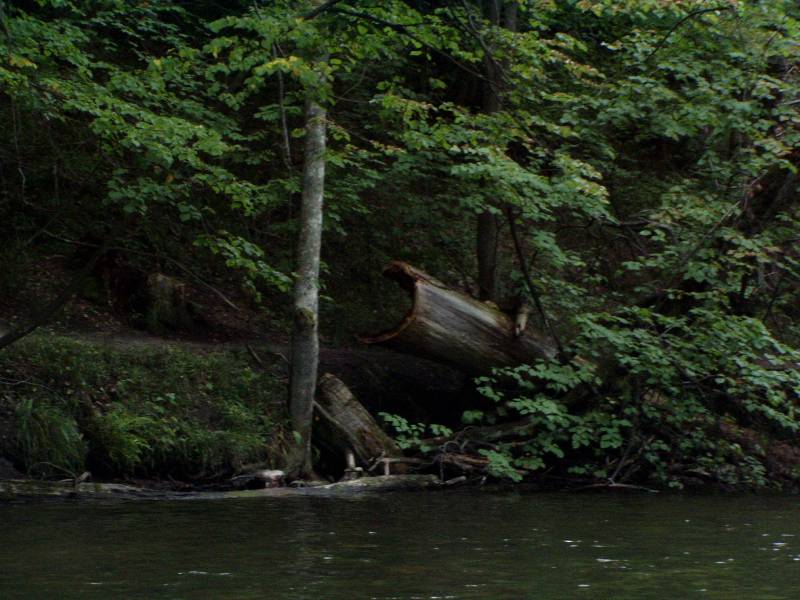
- go under the road bridge and reach Woziwoda –– a forest settlement and the seat of the forest inspectorate. There is a campsite and a bus stop. The Brda Valley Reserve starts here. Around 2 km north- west there are two nature reserves –– Lake Kozie and Lake Zdręczono. The current becomes faster and numerous fallen trees make it harder to go through.
- 136,0 km
- a mouth of Bielska Struga.
- 139,0 km
- the Brda is very wide and winding here. On the left, there are two campsites in Gołąbek. The current becomes much faster. Watch out for the rapids.
- 144,0 km
- go under the road bridge on the Tuchola–Tleń route and you reach Tuchola Plaskosz. A bus stop. Go by the railway bridge and the Jagiełło’s Stone –– an erratic boulder.
- 152,0 km
- go under the bridge on the Świecie–Tuchola route in Rudzki Most, which now is a district of Tuchola. There are campsites, OSiR camping lodges and bars. The river gets calmer.
- 155,0 km
- a mouth of the Ruda river. There is a campsite after the road bridge and the Świt forest district.
- 158,0 km
- in Świt the river current becomes faster, the banks are steeper. Watch out for numerous rapids and boulders on your way. Piekiełko –– this section of the river shows a nature of a mountain stream (2‰ grade of water) and is pretty difficult.
- 161,0 km
- you reach a concrete bridge in Piła Młyn. The current gets weaker and you enter Lake Koronowskie.
- 166,0 km
- a PTTK riverside hostel in Gostycyn-Nogawica, a destination of many kayaking trips.
The lower section of the Brda river. Gostycyn-Nogawica –– a mouth of Brda.
- 166,0 km
- Gostycyn-Nogawica. A mouth of Kamionka. A PTTK riverside hostel and a campsite. A hydroelectric power plant in Koronowo and Samociążek. The route leads south via Lake Koronowskie.
- 174,0 km
- a mouth of Krówka. On the left, there is a PTTK riverside hostel in Sokole Kuźnica.
- 176,0 km
- pass the railway bridge and in Sokole Kuźnica go past holiday resorts and then a ferry crossing.
- 184,0 km
- Romanowo (a part of Koronowo) on the right –– shops, a bus station, bars. Go past holiday resorts. On the left bank there is a sailing harbour and a beach in Pieczyska. Go left towards the canal that links Lake Koronowskie with Lake Lipkusz. Go past Koronowo.
- 189,0 km
- there are holiday resorts on the right, go under the bridge in Wilcze Gardło. Next, you reach Lake Białe.
- 196,0 km
-
you reach Samociążek, a holiday resort with campsites, shops, bars and a bus station. You need to carry your kayak along the fence of the hydroelectric power plant (around 200 m). Next, behind the dam, if you go along nearly 5 km upstream, you’ll reach the centre of Koronowo.
Somewhere near Okole the river goes through a valley and you can see meadows and fields. How fast the current is depends on the amount of water that passes through the power plant. - 203,0 km
- the river current gets weaker. You reach the dam reservoir, Lake Tryszczyn. You need to carry your kayak by the dam (80 m). The river current becomes faster. There are shops and a restaurant in Tryszczyn. Go under the bridge in Bożenków-Zdroje.
- 209,0 km
- Bydgoszcz Janowo. A PTTK riverside hostel. Here the Brda river creates two big meanders.
- 211,0 km
- Bydgoszcz Smukała. Go under the bridge. You need to carry your kayak one more time along the power plant on the left. After the power plant the current gets faster.
- 221,0 km
- Bydgoszcz. The trip ends 500 m after the mouth of the Bydgoszcz Canal, which flows into Brda, opposite the kayak pier of the PTTK kayaking club.
W każdej naszej bazie mają Państwo możliwość zaprakowania bezpiecznie swojego auta. Poniżej znajdują się informacje o dojeździe do bazy firmy AS-TOUR.
Dojazd do naszej bazy w Hucie Kalnej k. Lubik
Dojazd od strony Gdańska – trasa nr 22 kierunek Człuchów mijamy Starogard Gdański dalej jedziemy trasą 22 mijając miejscowości Bytonia, Dąbrowa, Frank , Piece (uwaga ani w miejscowości Frank ani w miejscowości Piece proszę nie skręcać w lewo na Czarne ani na Hutę Kalną ta trasa jest fatalna a po deszczu wręcz nie przejezdna) Jedziemy dalej trasą 22 w kierunku Człuchowa mijamy małą wioskę Kamienna Karczma dalej po przejechaniu ok. 5 km na długiej prostej będzie duża tablica informująca o skręcie w lewo na miejscowości - Lubiki Huta Kalna tutaj skręcamy w lewo mijamy kolejno Lubiki Małe, Lubiki, Huta Kalna jedziemy cały cza drogą asfaltową ( po lewej stronie widzimy kościół ok. 300 od rozwidlenia drogi na Czarne i Klaniny) dojeżdżamy w końcu do rozwidlenia drogi na Czarne i Klaniny. Kierujemy się w kierunku Czarnego ( 200m dalej cmentarz po prawej) ok. 400 dalej po prawej widoczna tablica AS-TOUR parking 200 m podjeżdżamy 200m i jesteśmy na miejscu.
Dojazd od strony Chojnic, Człuchowa, Bydgoszczy:
Trasa nr 22 kierunek Malbork , Elbląg mijamy miasto Czersk, następnie Czarną Wodę ok. 1,8 m za Czarną Wodą tablica informująca o skręcie na Lubiki i Huta Kalna ( lepiej jechać dość wolno bo łatwo ją przeoczyć (tablica jest duża jednak stoi dość niewidoczna za drzewami) skręcamy w prawo mijamy kolejno Lubiki Małe, Lubiki, Huta Kalna jedziemy cały cza drogą asfaltową ( po lewej stronie widzimy kościół ok. 300 od rozwidlenia drogi na Czarne i Klaniny) dojeżdżamy w końcu do rozwidlenia drogi na Czarne i Klaniny. Kierujemy się w kierunku Czarnego ( 200m dalej cmentarz po prawej) ok. 400 dalej po prawej widoczna tablica AS-TOUR parking 200 m podjeżdżamy 200m i jesteśmy na miejscu.

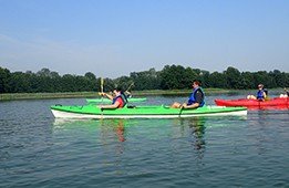
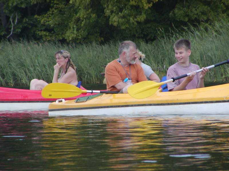
Set off point
A kayaking trip down the Brda river starts in Swornegacie. You can get there by bus from Chojnice or from Brusy. Charzykowy –– get there by bus from Chojnice.
Short Description of the Brda Kayaking Route
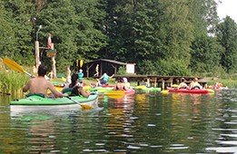
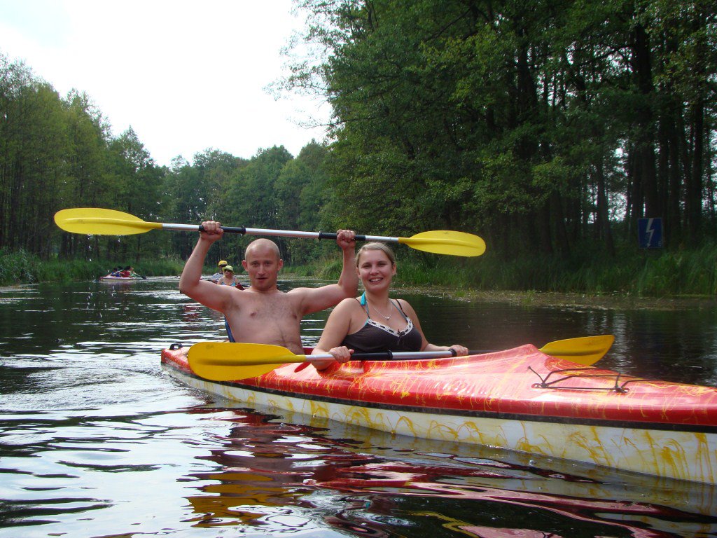
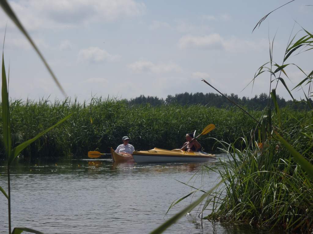
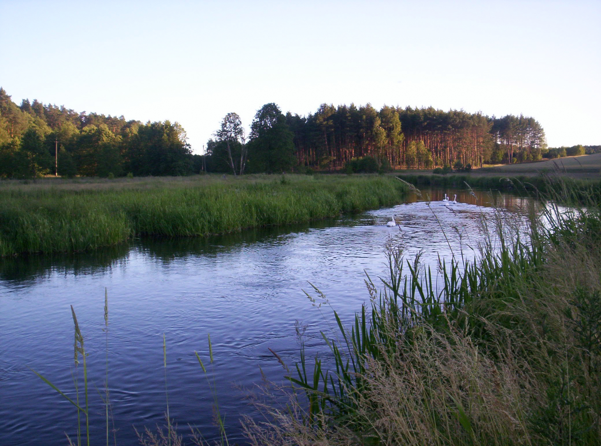
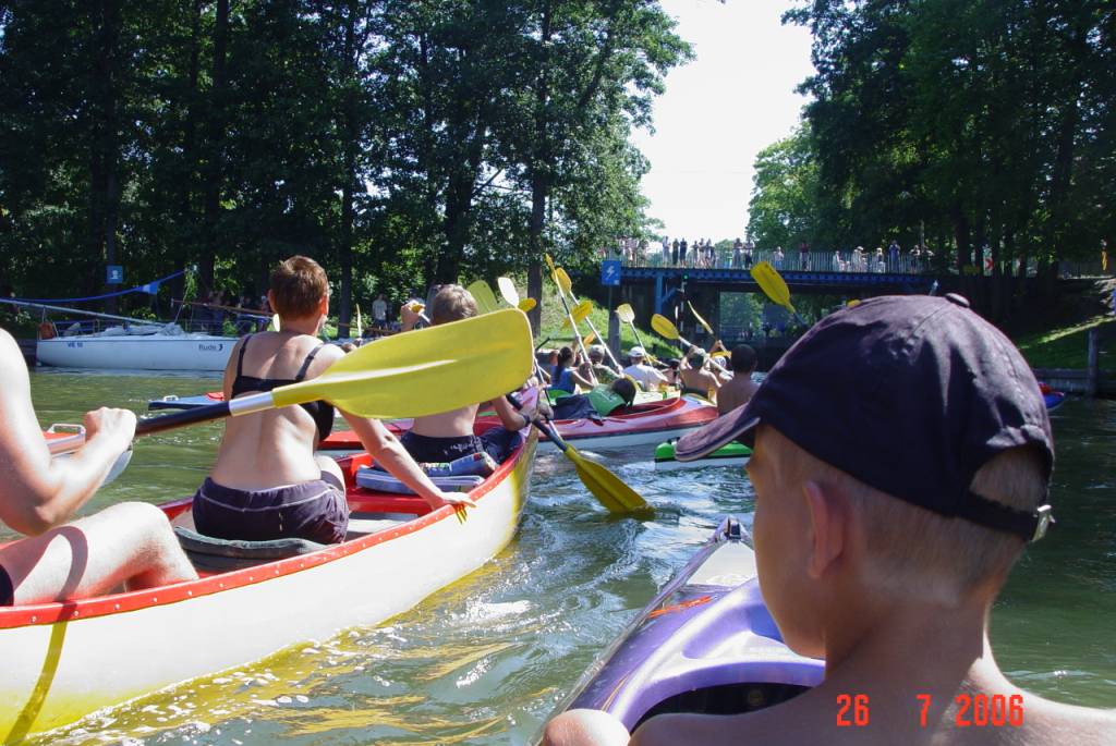
 Kayaking trips down the Brda river. Brda, the longest river in the Tuchola Forest, is 239 km long. It starts in the Smołowe lake in the Bytów lake district. Along the entire Brda route there are numerous campsites and riverside hostels. The kayaking trip down the Brda river is recommended for those who appreciate the diversity of the nature.
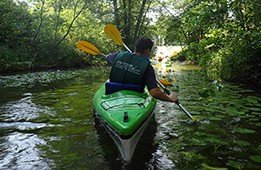
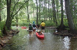
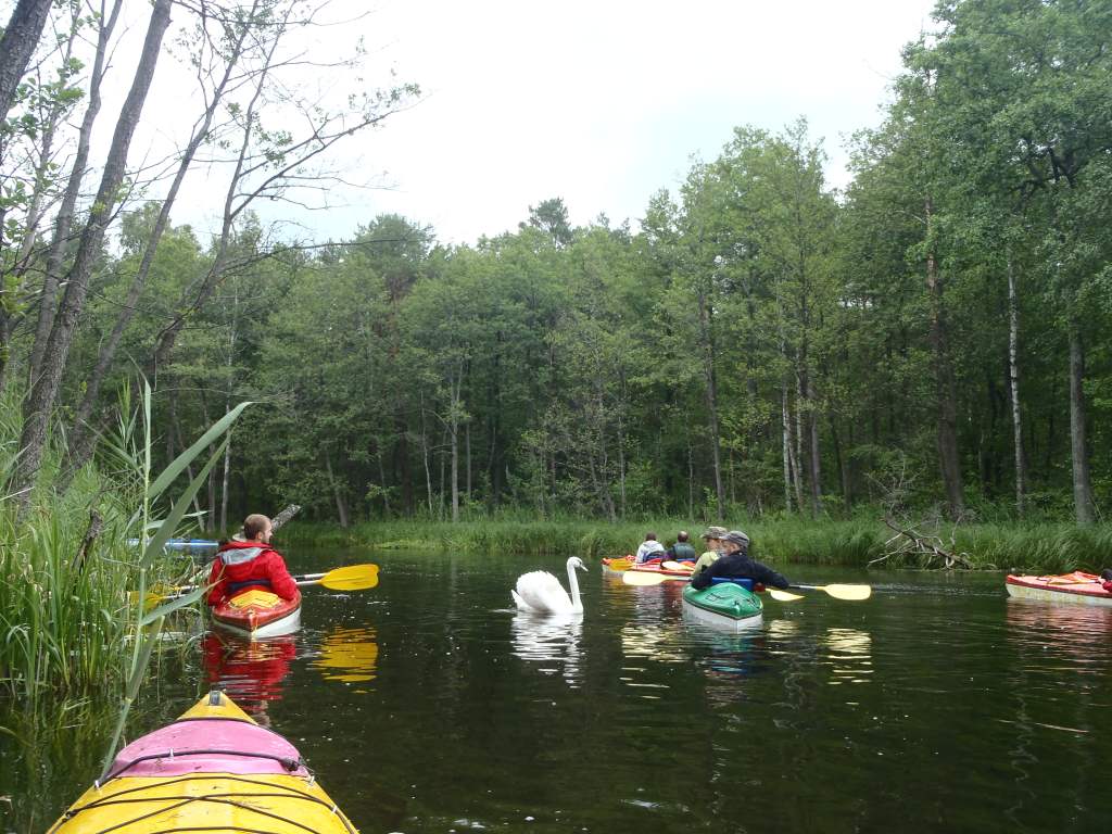
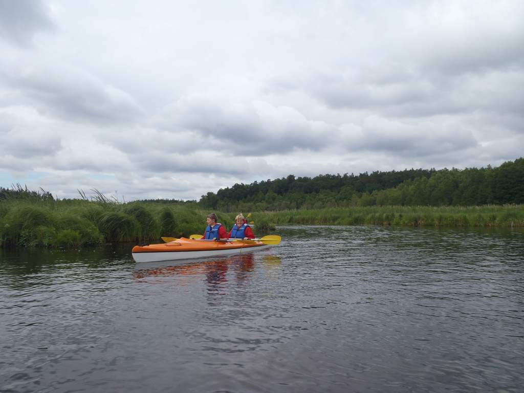
The Brda River has a diverse course. In the upper sections Brda winds among fields and meadows. Due to frequent shallows kayakers are forced to carry their boats over. In the forests, the trees fallen down by beavers form obstacles. The river also flows through picturesque lakes. In the upper section, the route goes via Charzykowskie, Krasińskie and Witoczno lakes. Having flown through the five subsequent lakes, the river goes south via a narrow valley surrounded by mixed forests, and flows into the Szczytno lake. In its middle section, Brda flows through subsequent ribbon lakes of the Charzykowska lowland and in the Tuchola Forest. In this section, Zalew Koronowski, an artificial lake created by building a dam on Brda, is found highly ravishing.
The closer to Bydgoszcz, the easier the route gets. Brda flows slowly and the surrounding area is delightful.
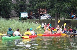
The kayaking route is 233 metres long, however the upper section is pretty troublesome as there are a lot of reeds, shallows and fallen trees. We recommend an extremely picturesque trip down the Charzykowy–Janowo by Bydgoszcz route (nearly 160 km, 12 days) or down the Swornegacie–Janowo by Bydgoszcz route (nearly 128 km, 10 days).


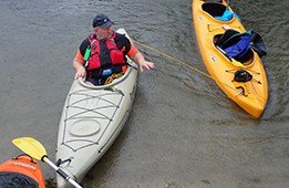
Obstacles on the route:
- A weir and a mill in Stara Brda
- A Dam in Mylof
- Dams on Tryszczyn and Smukała lakes
Grade of the Brda river:
- in the upper section 0,7‰
- in the middle section 0,38‰
- in the lower section 0,72‰
Kayak trips down the Brda river are managed by our centre in Huta Kalna by Lubiki.
The most interesting tourist attractions on the Brda route
Lake WitocznoLake Witoczno (kash. Jezoro Wëtoczno) is a ribbon lake located in the Charzykowska Lowland in the Tuchola Forest (Chojnice District, Pomorskie Province) 120 m above sea level. A total area of the lake amounts to 101 ha. The average depth of the lake is 6.8 m and the maximum one is 10 m.
Lake MałołąckieLake Małołąckie is located in the Charzykowska Lowland in the Pomorskie Province. In the north it joins the Lake Płęsno. A total area of the lake amounts to 37 ha. It’s one of the most beautiful lakes in the Pomerania region.
Lake ŁąckieLake Łąckie is a ribbon lake located in the Charzykowska Lowland in the centre of the Tuchola Forest (Chojnice District, Pomorskie Province). The watertable of Lake Łącie is 119 m above sea level. A total area of the lake amounts to 127 ha. The average depth is 12 m and the maximum one is 19 m.
Charzykowska PlainA name of this plane derives from the Charzykowy village, located by the Lake Charzykowskie. It has the area of 2,405 km2 and is built mainly from river and glacial sands. It is located in the Pomorskie Province, in the upper section of the kayaking route down the Brda river.
Nature Reserve PrzytońNature Reserve Przytoń was created in 1984. It is the youngest and, at the same time, very often visited reserve in the Niedźwiady Forest District. It is located in the Pomorskie Province, Człuchów District, Przechlewo Commune. From the east it is limited by the Brda river. This border section is the most difficult one on the route due to numerous fallen trees.
Lake DybrzykLake Jezioro Dybrzyk (kash. Jezoro Debrzk) is beautifully located in the Charzykowska Plain. It’s a flow-through type of a lake. To be more precise, it’s located in the very centre of the Tuchola Forest (Chojnice District, Pomorskie Province).
Lake KosobudnoLake Kosobudno is a ribbon lake located in the Charzykowska Plain. To be more precise, it’s located in the Tuchola Forest (Chojnice District, Pomorskie Province). The lake is joined with Dybrzyk Lake by the ribbon of Brda, and then with Lake Trzemeszno by a small stream.
Małe SwornegacieMałe Swornegacie is a small village in the Kaszuby region, located in the Pomorskie Province (Chojnice District, Chojnice Commune). It is a part of the Swornegacie village area. Małe Swornegacie is located in the Zabory Natural Landscape Park, more precisely between two lakes, Lake Karsińskie and Lake Charzykowskie. Lake Charzykowskie is a set off point for the kayaking trip down the Brda river that we offer.
Tuchola ForestThe Tuchola Forest is a beautiful area with breathtaking landscapes. There are numerous streams, lakes and ravishing forests. The area of the forest began to shape over 10,000 years ago. Two rivers, Wda and Brda, flow through the Tuchola Forest. Both the first one and the latter carved beautiful valleys in the ground.
Lake CharzykowskieLake Charzykowskie is a ribbon lake located in the Pomorskie Province, Chojnice District, Chojnice Commune. In summer, a lot of events take place by the lake: a festival of chanteys, boat races and many other events related to water and sailing.
A Dam in MylofThe dam in Mylof is an artificial reservoir important for both energy supply and tourism. It was built on the Brda river in the Tuchola Forest (Pomorskie Province, Chojnice District, Czersk Commune, village Zapora).
Lake TryszczynLake Tryszczyn is located 2 km away from Kruszwica. It is governed by the Polish Angling Association. A total area of the lake amounts to 30 ha. In summer, it forms two smaller lakes which become a one uniform lake in autumn.
The Great Brda CanalThe Great Brda Canal is an artificial canal built by the Prussians in the 19th century. It is the largest aqueduct in Poland and is well maintained –– there are 30 km of canals here that drain water to the meadows of Czersk and then to hundreds of ditches.
Smukała DamThe water grade in Smukała is a hydrotechnical construction aimed at damming up the Brda River to produce electricity in a hydroelectric power plant. The dam is located in Bydgoszcz itself, more precisely, in the north-west part of it –– in the Smukała estate.


.jpg)
.JPG)